





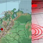
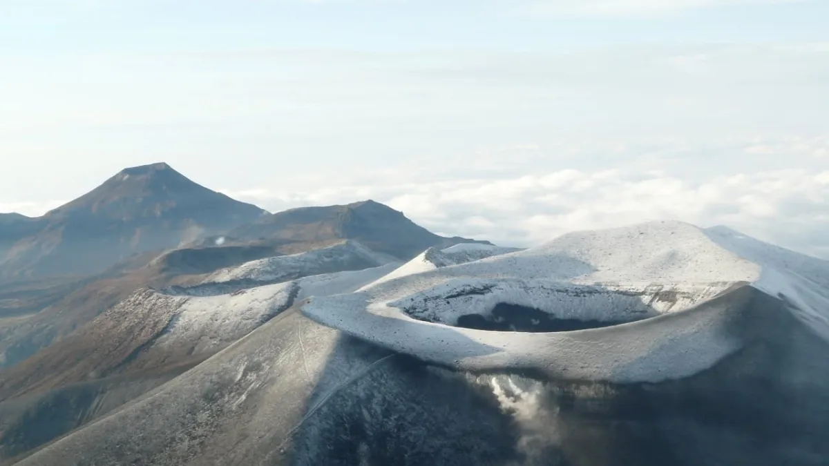
The Puracé volcano moved from yellow to orange alert on August 1 due to a significant increase in its activity, especially in the energy of the earthquakes recorded approximately one kilometer below its crater, as well as in the temperature of ash emissions and the amount of gases released into the atmosphere.
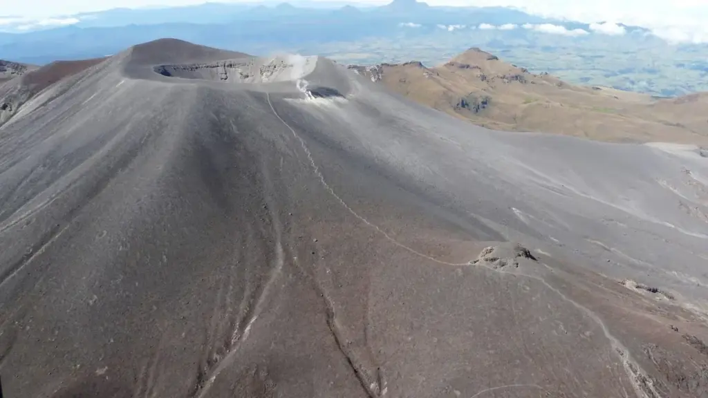
The decision was announced by the Colombian Geological Service (SGC), after a comprehensive evaluation of the parameters that are permanently monitored by the Popayán Volcanological and Seismological Observatory. The entity explained that the orange alert status implies that the possibility of an eruption occurring is higher, although it clarified that this does not necessarily mean it will happen.
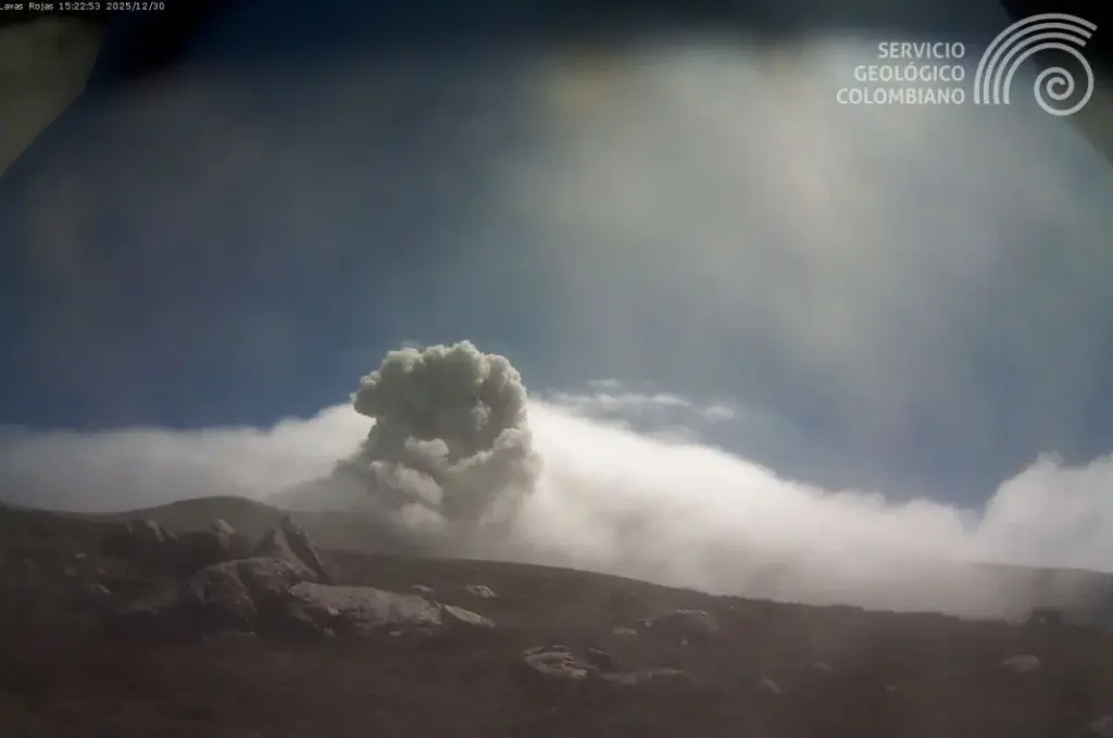
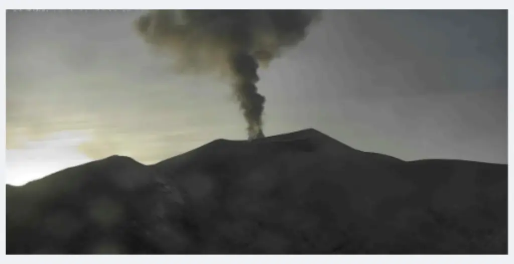
According to the Observatory’s records, since July 20, an increase in the volcano’s activity began to be evident. During this period, columns of gas and ash have been observed reaching up to 3,400 meters above the summit of Puracé, with estimated temperatures around 140 degrees Celsius.
This behavior is accompanied by an increase in sulfur dioxide (SO2) emissions. Monitoring systems have recorded flows of this gas up to 4,200 tons per day. An increase in carbon dioxide (CO2) values measured in the soil was also identified, with a concentration of 688 parts per million.
The SGC indicated that these parameters, except for ground deformation—which has remained slow and steady since 2022—correspond to the maximum values detected in the volcano since monitoring began in 1993.
The recorded changes represent, according to the entity, a significant alteration in Puracé’s behavior and correspond to the conditions established to declare the orange alert status.
Jaime Raigosa, coordinator of the Popayán Volcanological and Seismological Observatory of the SGC, called on communities not to approach the high parts of the Puracé, Piocollo, and Curiquinga volcanoes. The recommendation responds to the risk of sudden emissions of gases and ash that could endanger the lives of those in those areas.
The official also asked to consult exclusively information from official sources, including the Colombian Geological Service, local mayors’ offices, and the Cauca Governor’s Office, and to cross-check any content circulating on social networks.
While the orange alert remains, the SGC will continue monitoring the volcano 24 hours a day, seven days a week. Additionally, the frequency of bulletins on Puracé’s activity will be daily, and the information will be published on the entity’s website and social media, as well as sent promptly to local and national media.
The SGC also warned that during an orange alert period, temporary variations in activity levels may occur. This means that at certain times, activity could decrease compared to previous days or weeks. However, a temporary reduction would not imply that the volcano has returned to a stable state.
To return to a lower alert level, such as yellow, a reasonable amount of time must pass during which all monitored parameters are evaluated and trends are established to determine if there is greater stability in the volcano’s behavior.
A behavior that has been changing since 2021
The current increase in activity adds to a series of changes that Puracé has presented over recent years. According to the SGC, since 2021 the volcano has shown gradual modifications in its activity.
One of the most important episodes occurred in March 2022, when seismic activity increased. That month recorded the highest number of daily earthquakes since monitoring of the volcano began.
These variations occurred before a small phreatic eruption on March 29, 2022, in the crater of the Curiquinga volcano, one of the fifteen volcanoes that, along with Puracé, make up the Los Coconucos Volcanic Chain.
The following day, March 30, the SGC changed the volcano’s alert status to yellow due to the high variability recorded both in the number and location of seismic events related to fractures and fluid movement after the eruption.
Later, on May 3, 2024, the volcano was again declared at orange alert. On that occasion, the decision was related to significant variations in three variables: seismicity, ground deformation, and changes in the type of gases and fluids emitted by the volcanic system. That condition remained until July 5, 2024.
Puracé’s behavior continued to be unstable. On November 29, 2025, the SGC again raised the alert level to orange due to changes and increases in seismicity, as well as the appearance of ash emissions not recorded since 1977.
The volcano remained at orange alert until January 22, 2026, when it returned to yellow status. Now, just over six months later, it returns to orange due to the new increase in its activity parameters.
One of the most monitored volcanic structures in the country
Puracé has been monitored by the Popayán Volcanological and Seismological Observatory since 1993 and is currently considered one of the best-instrumented volcanoes in Colombia.
The surveillance network has 97 stations. Of these, 60 have data telemetry systems, while in the remaining 37, information is obtained directly at sampling points.
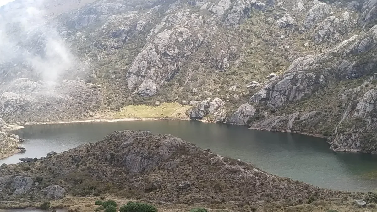
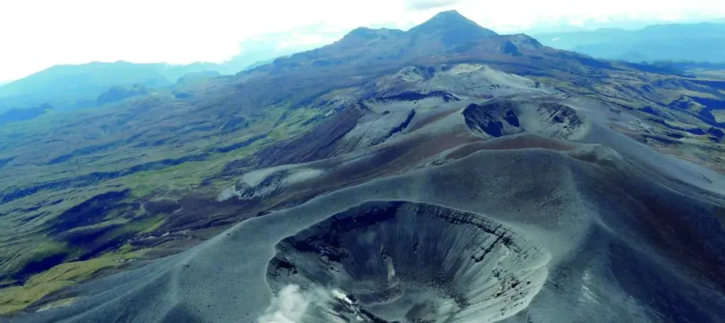
The volcano is located 27 kilometers southeast of Popayán, in the Cauca department, and is part of the Los Coconucos Volcanic Chain. It is a stratovolcano with predominantly explosive activity and has two craters: an outer one 900 meters in diameter and an inner one 550 meters.
Its last significant eruption occurred in March 1977. Since 1827, at least 14 other minor eruptions have been described that caused material damage and loss of life. Due to these characteristics, the SGC considers it one of the most active volcanoes in the country.
Communities in threat zones
The volcanic threat map prepared by the SGC in 2014 indicates that mainly indigenous and peasant communities inhabit the Puracé influence area.
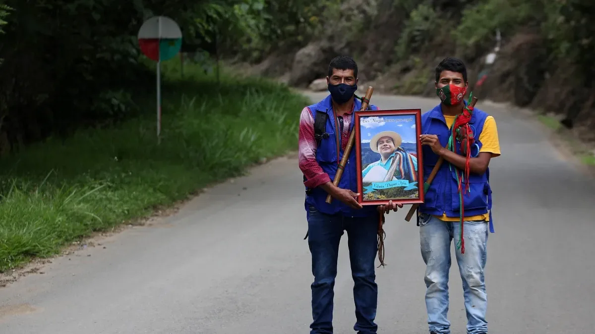
The municipalities identified as being at risk in the event of a significant eruption are Puracé, Popayán, and Sotará, in the Cauca department. Also within the influence area are the Indigenous Reserves of Puracé, Kokonuko, and Paletará; the indigenous resettlement of Juan Tama, belonging to the Páez or Nasa people; and the settlement of the Misak people, indigenous territories belonging to the Kokonuko people.
Among the phenomena that could occur are pyroclastic flows in the case of Puracé and lahars or mudflows that could affect the population of Paletará and Popayán.
Therefore, the SGC recommended that communities stay alert to official information and strengthen coordination with traditional authorities through spaces such as handovers, assemblies, and meetings, as well as mechanisms like activating call chains for decision-making.
Julio Fierro Morales, general director of the SGC, stated that the entity works in coordination with communities and institutions that make up the National System for Disaster Risk Management, with the purpose that decisions are based on scientific information generated by the organization.
EDWIN CAICEDO
Environment and Health Journalist
@CaicedoUcros