









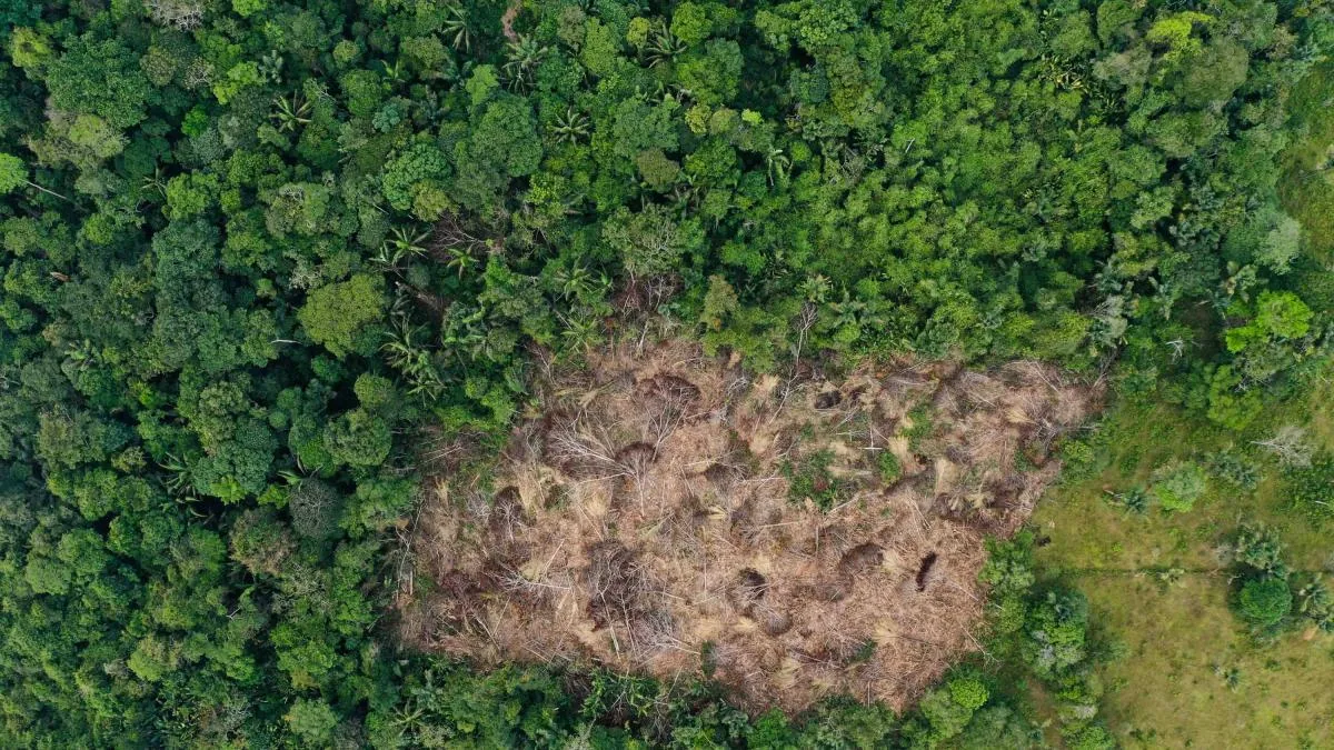
Forest loss continues to advance within three of the most important protected areas in the Colombian Amazon. An independent satellite monitoring, conducted by Greenpeace Colombia and exclusively revealed by EL TIEMPO, identified 8,896 hectares deforested during 2025 in the Sierra de La Macarena, Serranía de Chiribiquete, and Tinigua national natural parks, a figure that, according to the organization, confirms that the pressure on these strategic territories not only persists but continues to accumulate despite their highest level of environmental protection.
The report found that Sierra de La Macarena recorded the greatest forest loss in the last year, with 4,973 hectares deforested, followed by Serranía de Chiribiquete with 2,060 hectares, and Tinigua with 1,863 hectares. Although the monitoring corresponds only to 2025, the organization insists that the main concern is not the annual data but the historical trend. By incorporating these new figures, the three parks accumulate 95,840 hectares deforested between 2013 and 2025: 47,998 hectares in Tinigua, 34,070 in Sierra de La Macarena, and 13,772 in Chiribiquete.
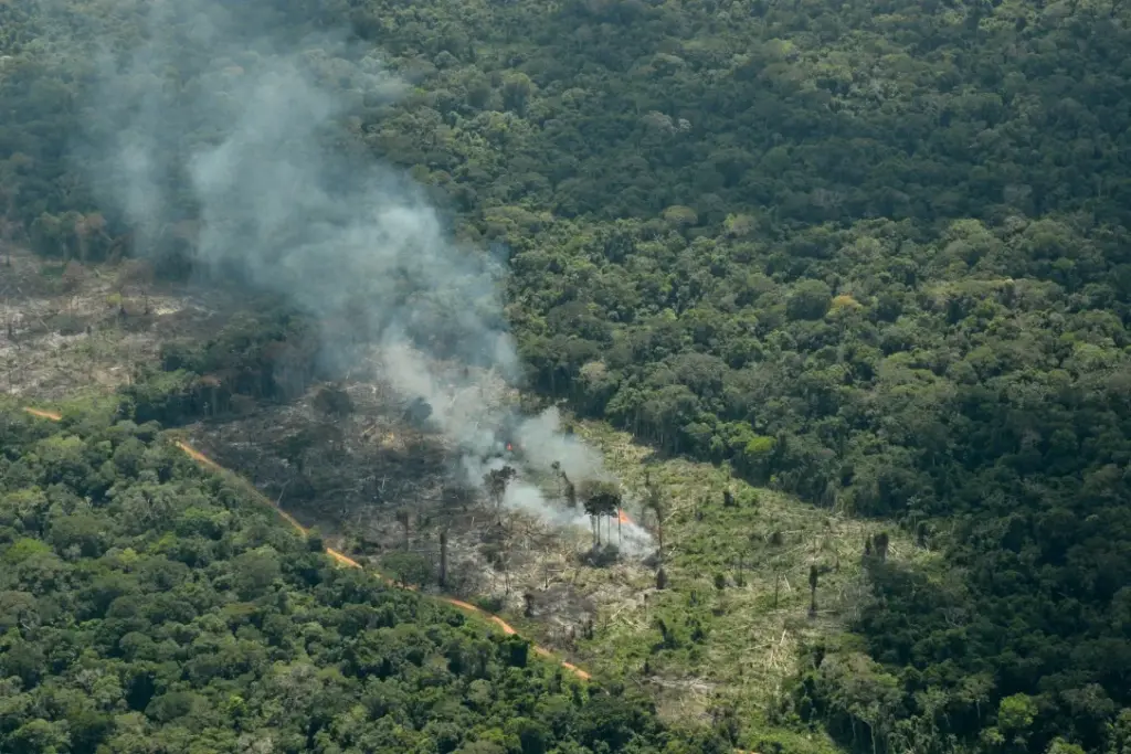
“We do not want this data to be read as an isolated snapshot of one year. The important thing is that it confirms that forest loss continues to occur within areas that should have the highest level of environmental protection,” Laura Caicedo, campaign coordinator for Greenpeace Colombia, told EL TIEMPO.
The document states that these results add to an already critical context. Between 2013 and 2024, the report recalls, 137,289 hectares were deforested within the National Natural Parks System, and about 77% of that loss was concentrated in just five protected areas, including precisely Tinigua, Sierra de La Macarena, and Chiribiquete.
For the organization, this demonstrates that the protection declaration has not been enough to stop the transformation of the forest. “Deforestation within a National Natural Park is not just another loss of forest cover but a clear sign of failure in the effective protection of these territories, which are strategic for biodiversity, water security, and the country’s climate stability,” Caicedo stated.
Sierra de La Macarena, the main alert
Of the three parks analyzed, Greenpeace considers Sierra de La Macarena to represent the most urgent alert. The park, located in the Meta department, concentrates ecosystems from the Amazon, Orinoquía, Andes, and Guiana Shield, making it one of the main ecological corridors in the country.
According to satellite monitoring, 4,973 hectares were detected as deforested there in 2025, the highest annual value among the protected areas analyzed. With this, the accumulated loss between 2013 and 2025 amounts to 34,070 hectares.
According to Caicedo, the data is especially relevant because it equals about 14.6% of all accumulated deforestation in the park during the analyzed period, showing that pressure on this ecosystem remains active.
“In Sierra de La Macarena, we are not talking about a one-time event but about accumulated territorial pressure on this park. Forest loss there is affecting ecological connectivity and the real capacity of the State to protect a key transition zone between regions,” she said.
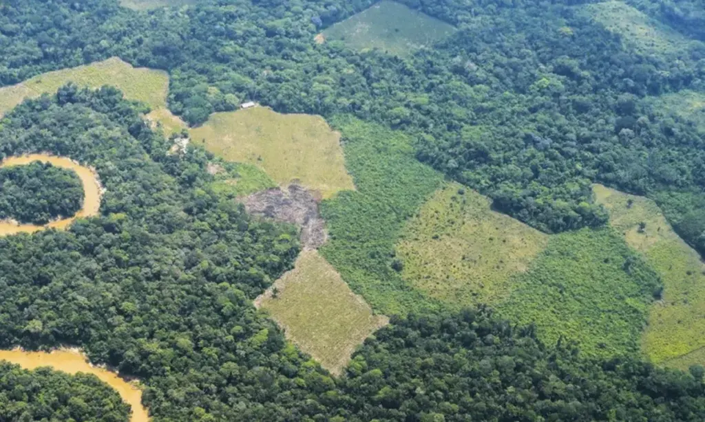
However, Greenpeace clarifies that satellite analysis does not automatically attribute a specific cause to each deforestation event. “Our monitoring identifies loss of forest cover but does not say exactly that each deforested hectare is directly caused by cattle ranching,” explained the campaign coordinator.
However, she added that the results should be interpreted together with previously documented evidence about road openings, occupation, grassland expansion, presence of cattle, pasture expansion, and failures in control and information systems.
Concern about cattle ranching
The report states that the discussion is not limited only to forest loss. For Greenpeace, one of the main problems is that Colombia still does not have a system that allows fully reconstructing the origin of cattle and verifying if animals coming from deforested areas or protected areas end up entering the commercial chain.
“Today the problem is not only that Colombia lacks cattle records, but that those records still do not allow clearly reconstructing the environmental history of the animal because they operate in isolation,” Caicedo explained.
According to the organization, there are currently health records, movement guides, and other tracking mechanisms, but these are not cross-referenced with national park boundaries, deforestation maps, multipurpose cadastre, property history, or commercial information.
“The system can know that an animal moved, but we do not necessarily know if it comes from a deforested area, a property at risk, or a use incompatible with a protected area. We are talking about blind spots in the meat chain,” she said.
The report also recalls that ICA records analyzed by the Foundation for Conservation and Development reported 25,147 cattle vaccinated within national parks during 2024, of which 67.8% were concentrated in the Amazon. According to those records, Tinigua had 9,392 head of cattle and Sierra de La Macarena 7,510.
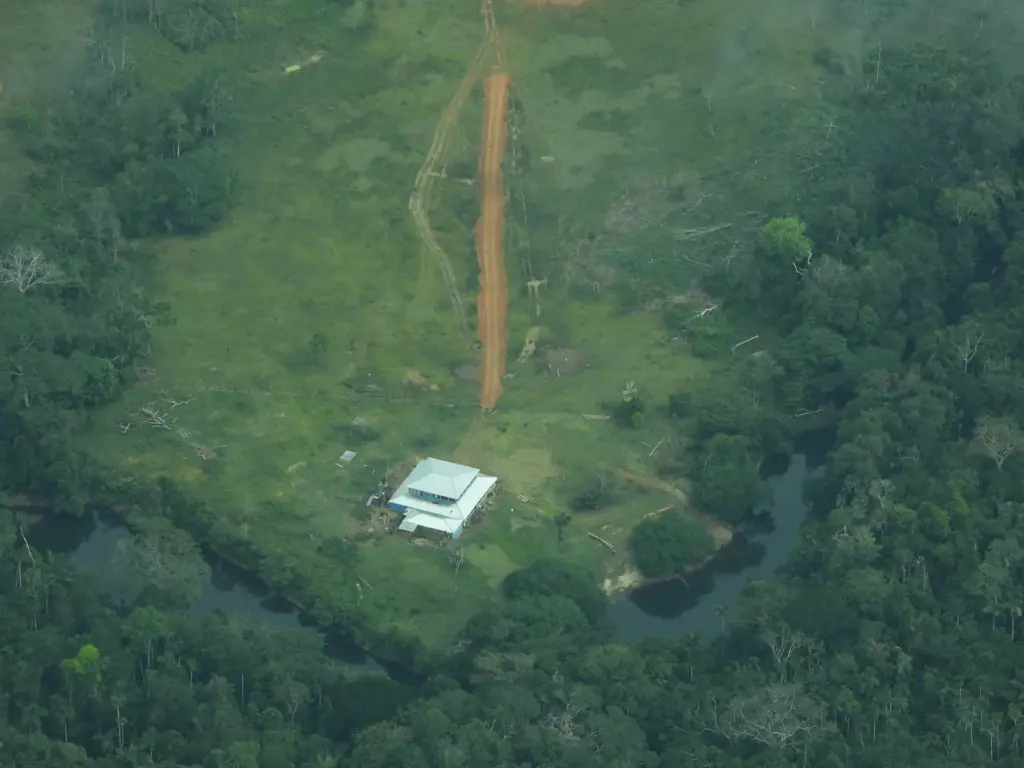
Although Greenpeace insists that these data do not prove a direct causal relationship between each deforestation event and cattle activity, it considers them part of accumulated evidence that must be analyzed together with other factors.
Added to this is the phenomenon of grassland expansion, described in the report as the replacement of forest ecosystems by low-diversity grass covers, a process that reduces natural regeneration, fragments habitats, and consolidates land-use changes that are difficult to reverse.
The bet on traceability
One of the main calls of the report is directed at the implementation of Law 2585 of 2026 on Sustainable and Deforestation-Free Cattle Ranching. For Greenpeace, the law represents an important opportunity but will only have an impact if regulated with effective traceability mechanisms.
The organization states that the country needs a public, interoperable, and verifiable system that allows knowing where the cattle come from, how they move, who buys them, who processes them, and which commercial chains could be related to deforestation processes.
“Without that information, citizens will not be able to verify if the meat that reaches the supermarket is free of deforestation or uses incompatible with the protection regime of the national natural parks,” Caicedo said.
She explained that an animal can be born in an environmentally sensitive area, pass through different properties, intermediaries, auctions, or slaughterhouses, and end up on the market without it being possible to reconstruct its entire journey.
“If the system only reviews the last property or the last movement, the environmental origin is diluted. Traceability cannot be only sanitary; it must also have an environmental and social dimension,” she indicated.
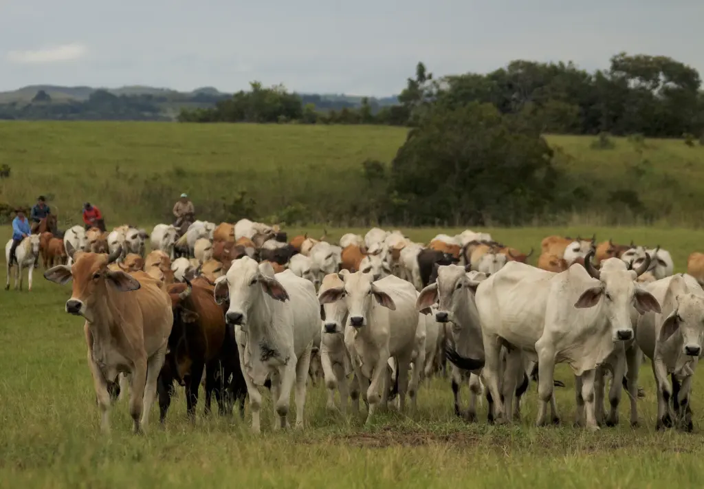
For that reason, Greenpeace requests the Government to regulate the law to guarantee public traceability, access to information, interoperability between entities, accountability of the private sector, and mechanisms that allow verifying that the meat marketed does not come from deforestation processes or activities incompatible with the protection of national parks.
“The law already exists. Now what we need is for it to work, to close those blind spots, and for a deforestation-free meat label not to end up being greenwashing but to really contribute to solving this deforestation crisis in our national natural parks,” Caicedo concluded.
EDWIN CAICEDO
Environment and Health Journalist
@CaicedoUcros